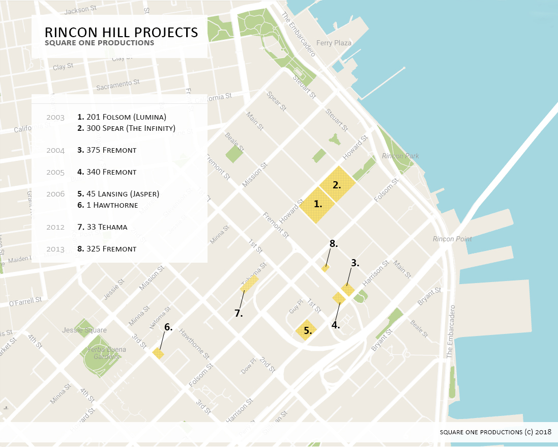
33 Tehama and the Flowers that Bloom at Midnight art installation by Yuyui Kusama
It is always rewarding to watch the broad vision of an area plan materialize into the specific buildings and spaces that comprise the fabric of a city.
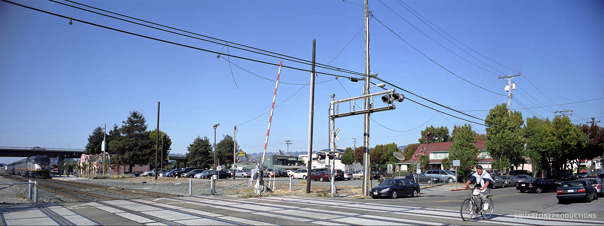
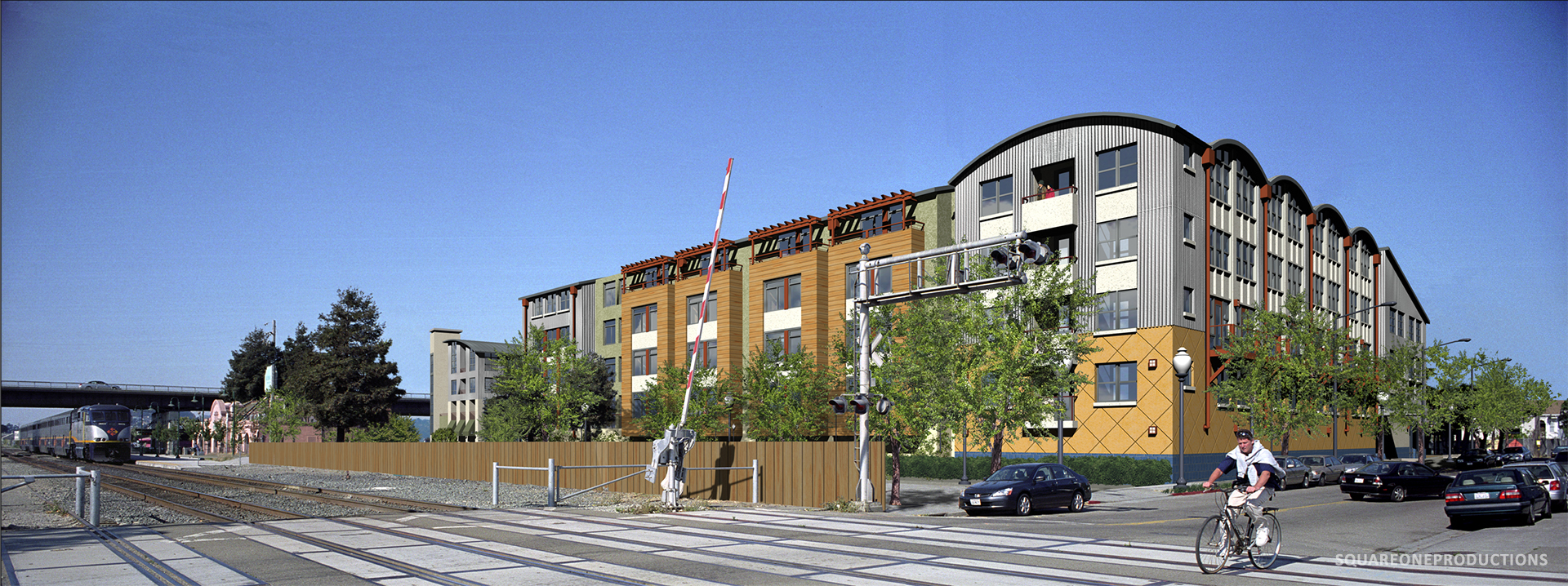
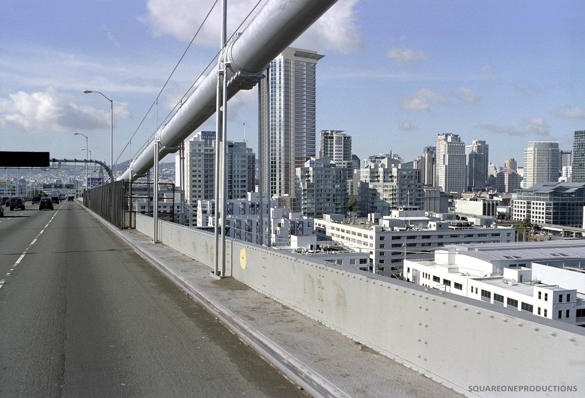
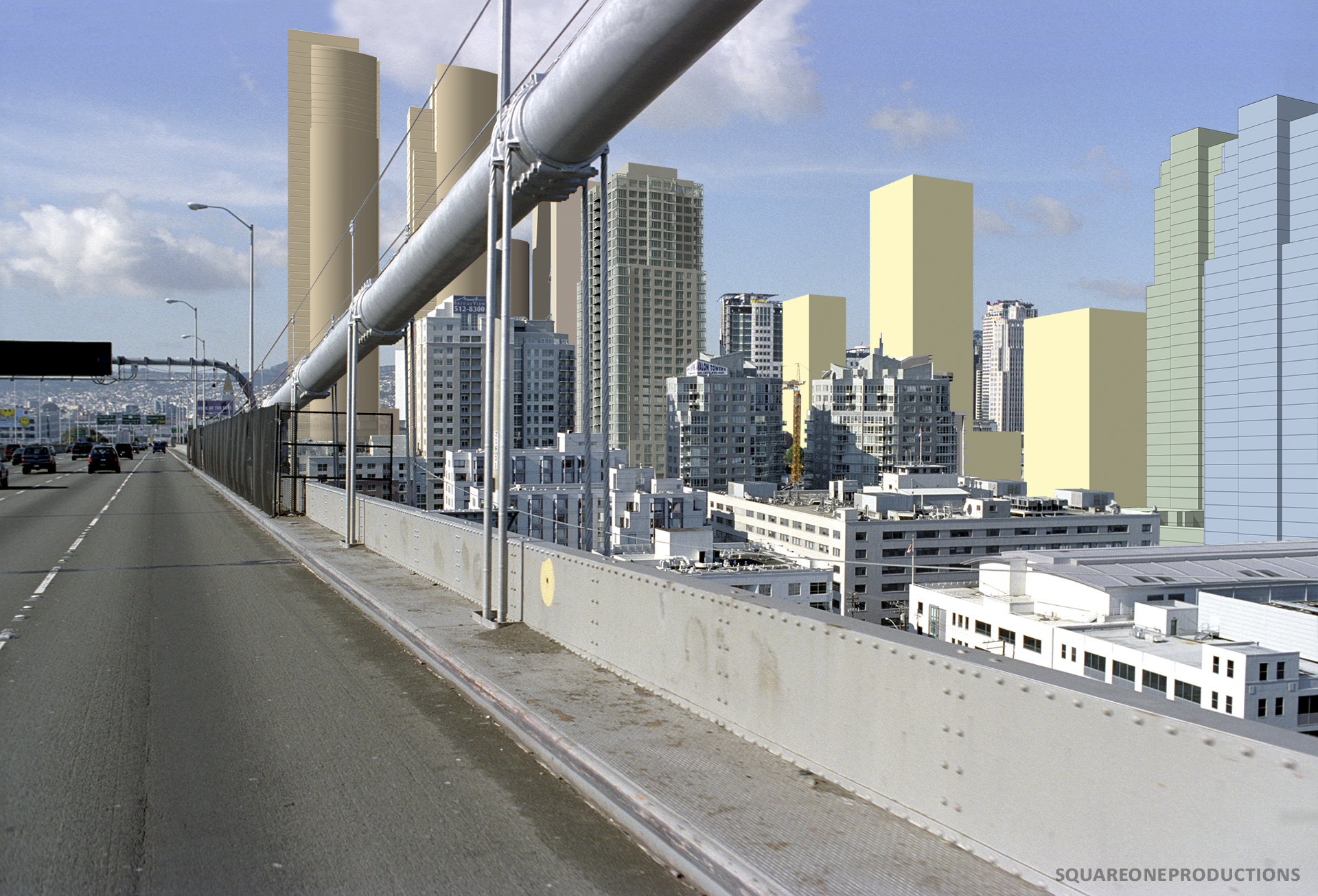
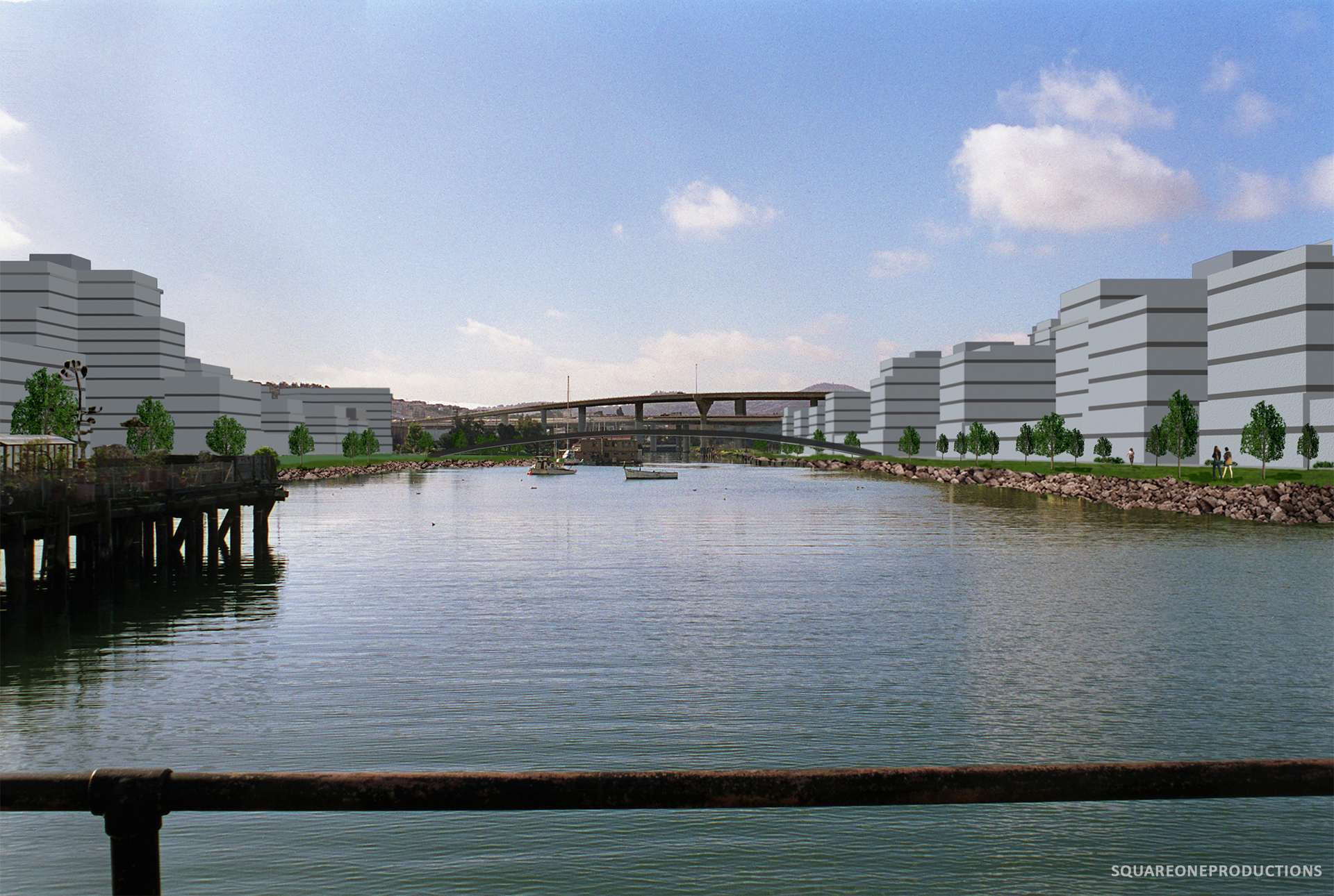
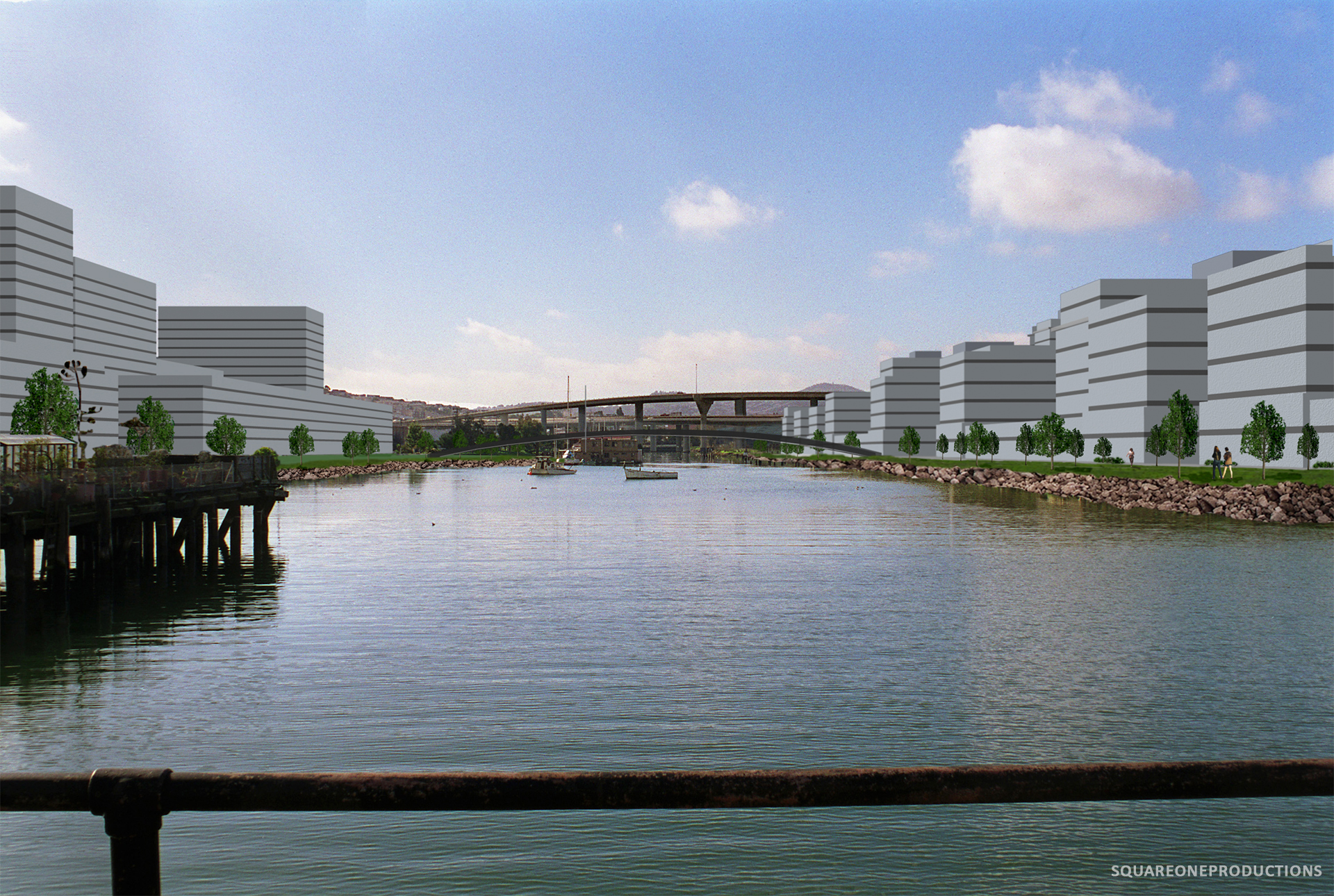
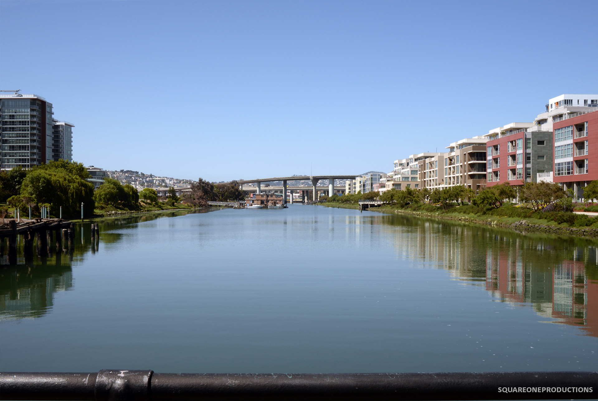
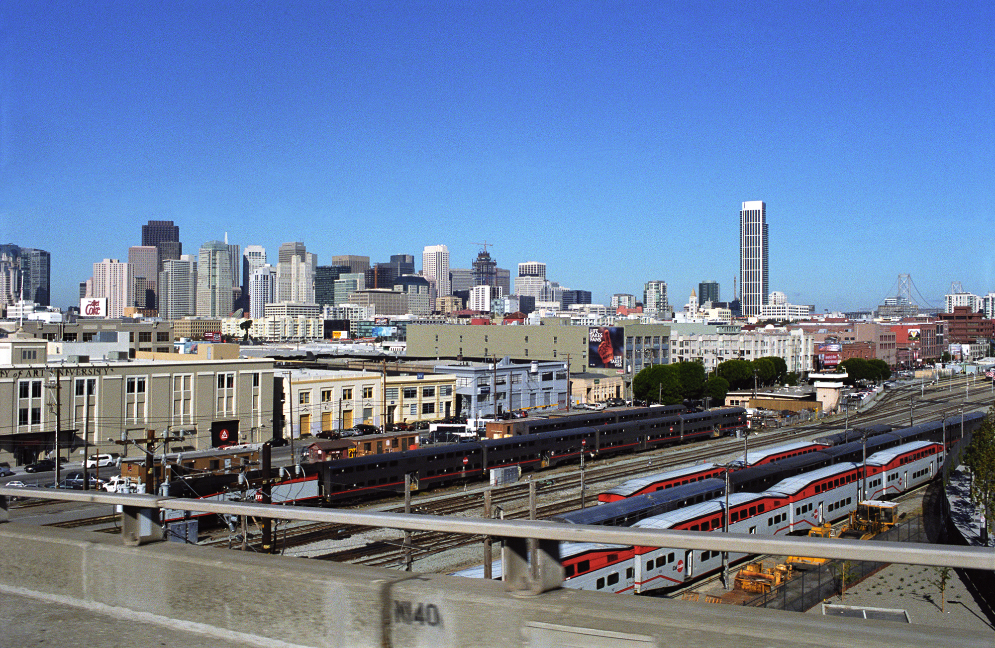
In 2008, we began photographing existing conditions and preparing photosimulations for San Francisco’s Transit Center District Plan, a comprehensive plan for shaping growth within 145 acres in southern Downtown. Our simulations portrayed the Plan in the context of earlier area plans: the Rincon Hill Area Plan and the 2006 Transbay Redevelopment Plan.
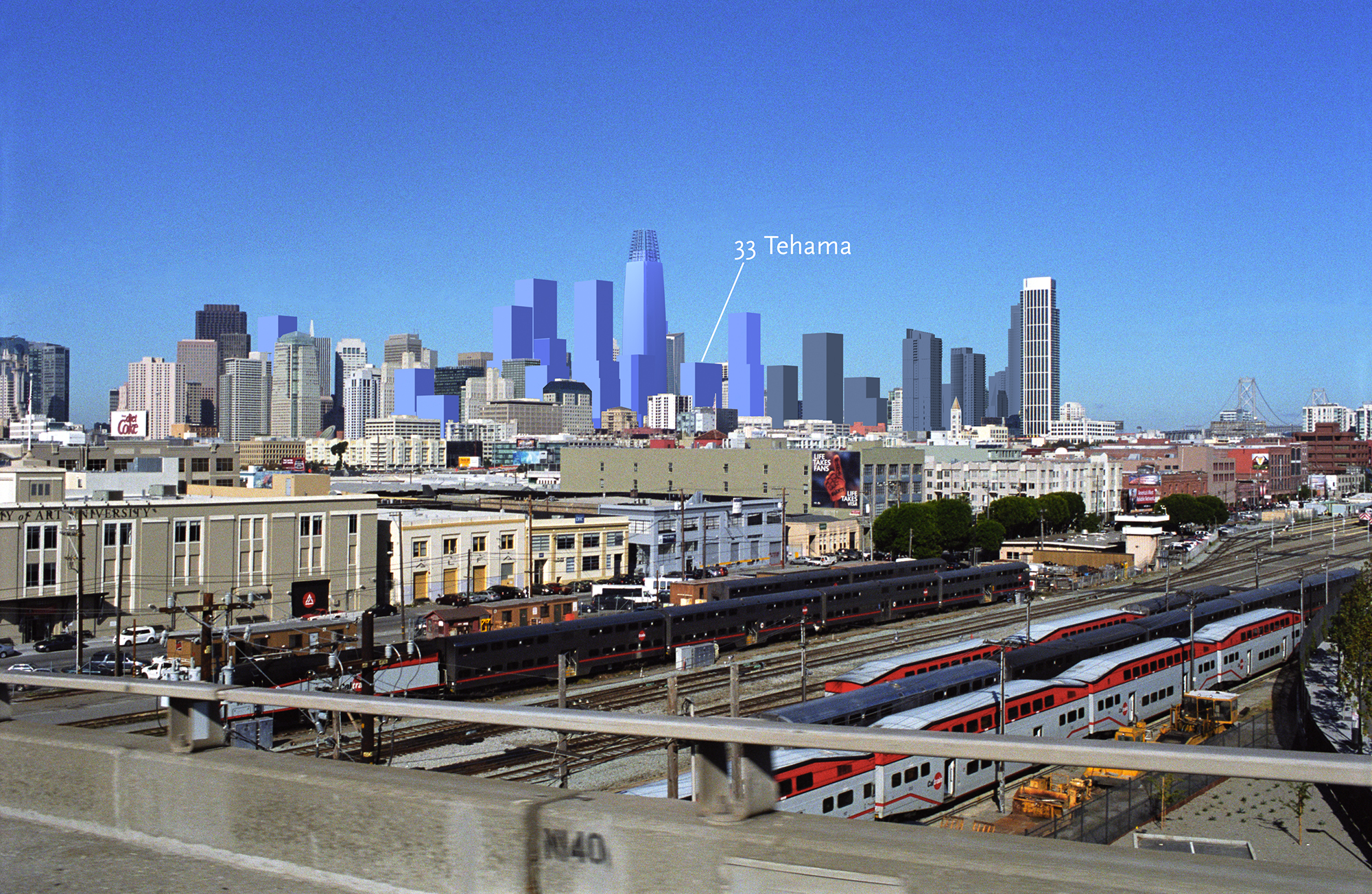
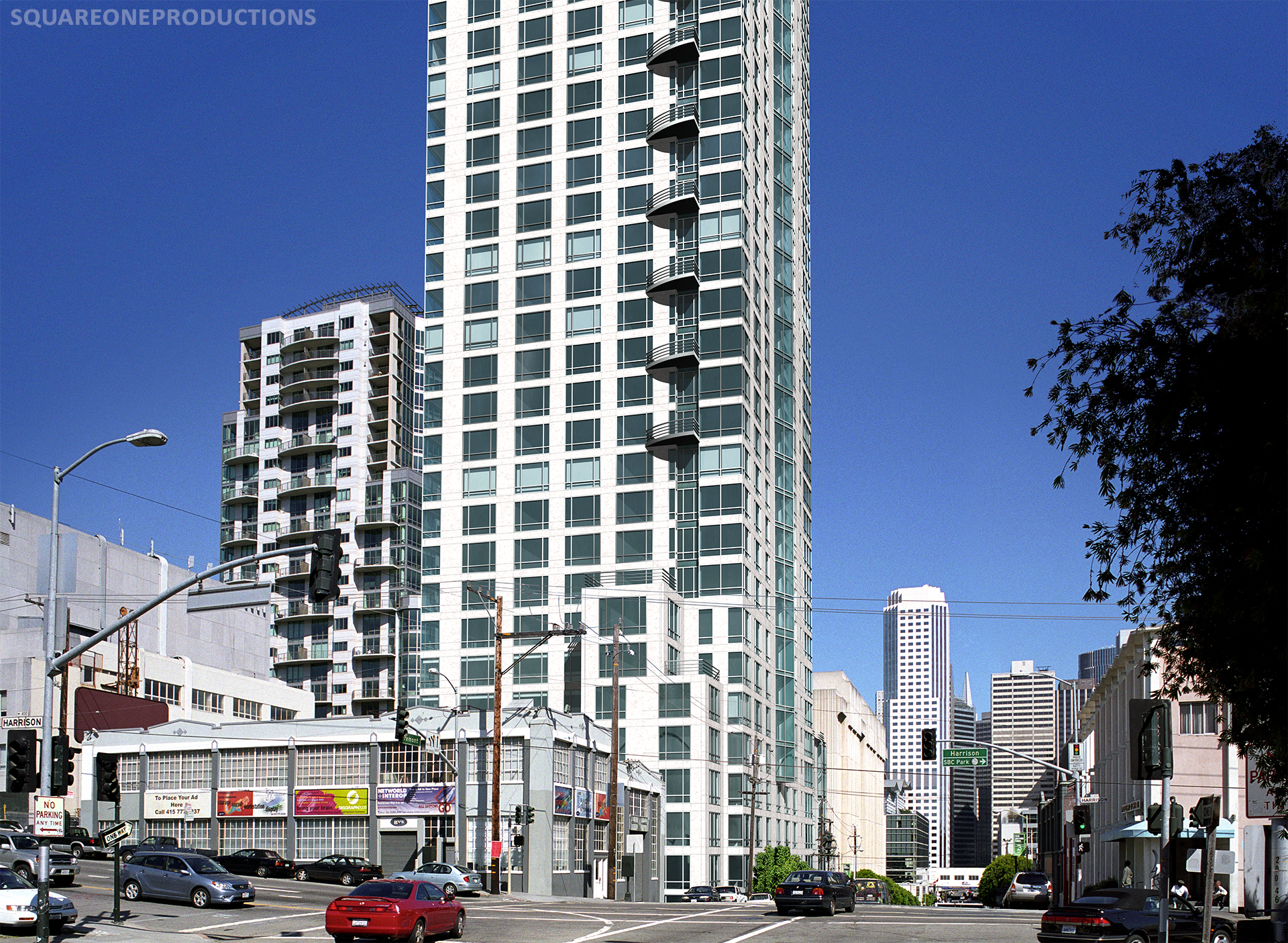
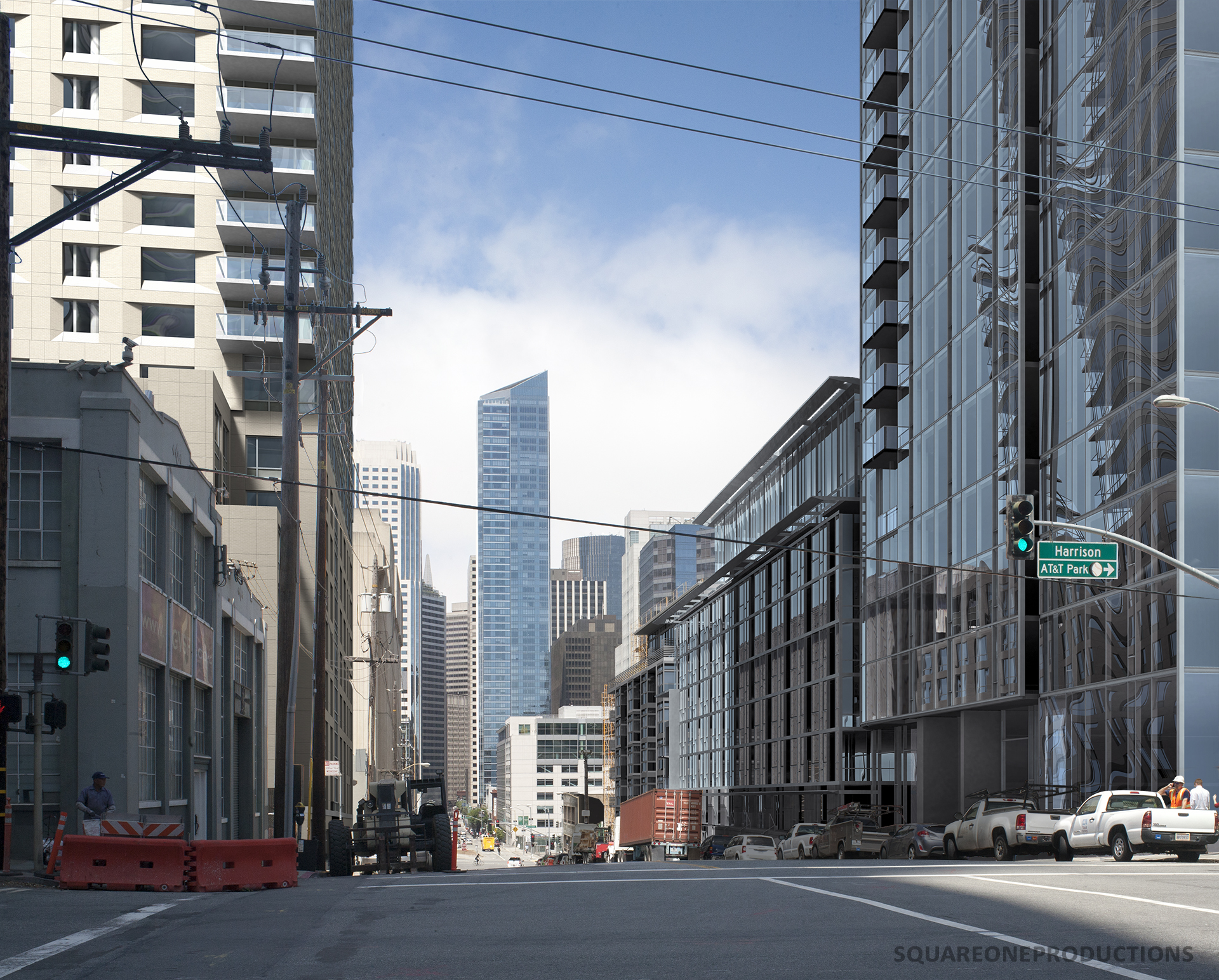
With the adoption of the Transit Center District Plan in 2012, the height limit for 33 Tehama was reclassified from 200’ to 360’.
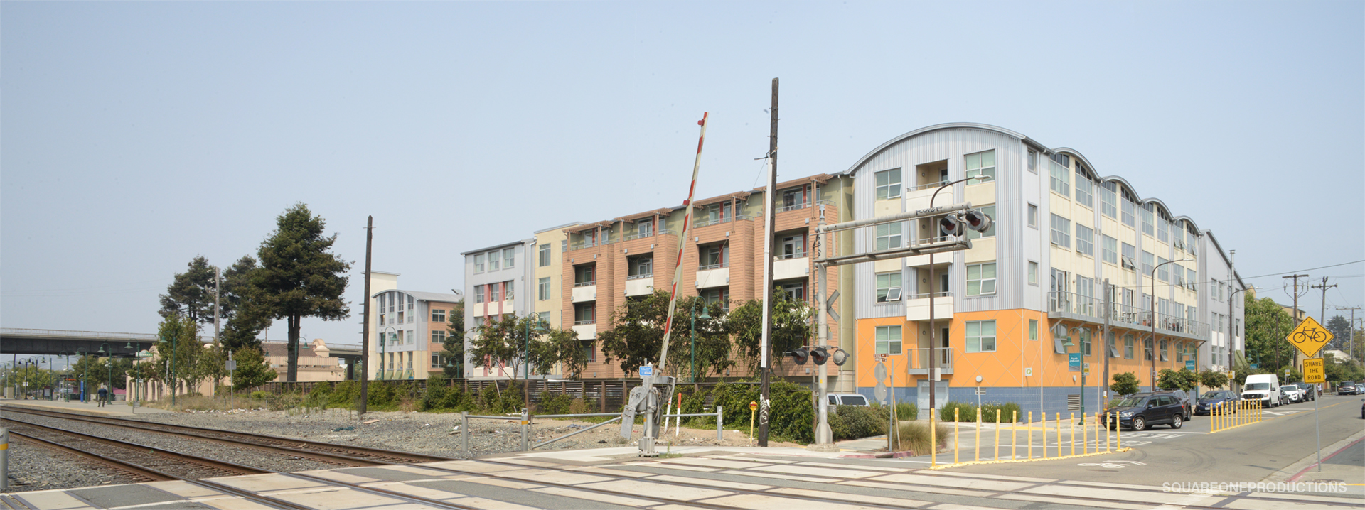
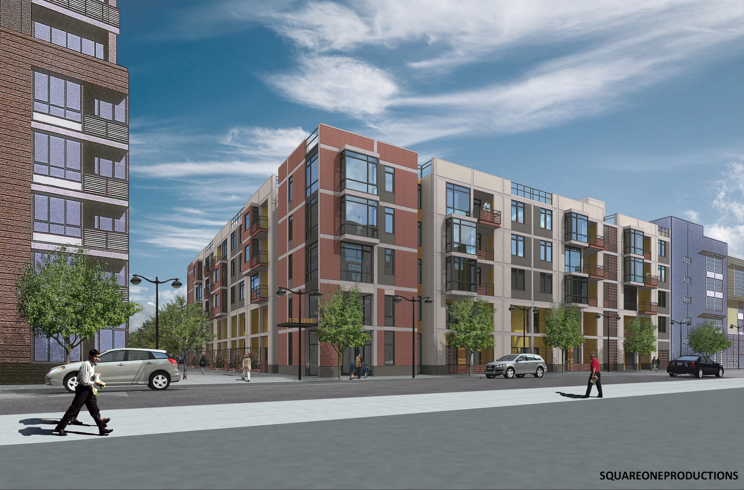
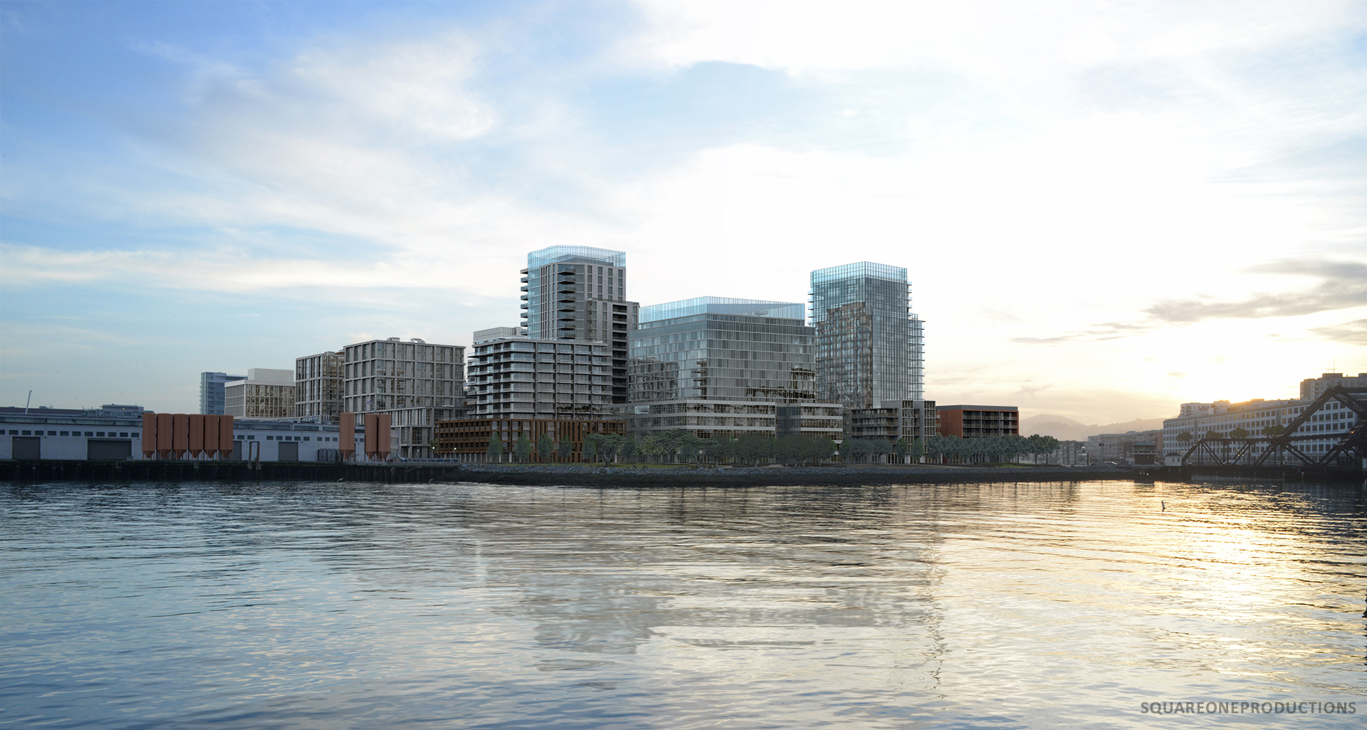
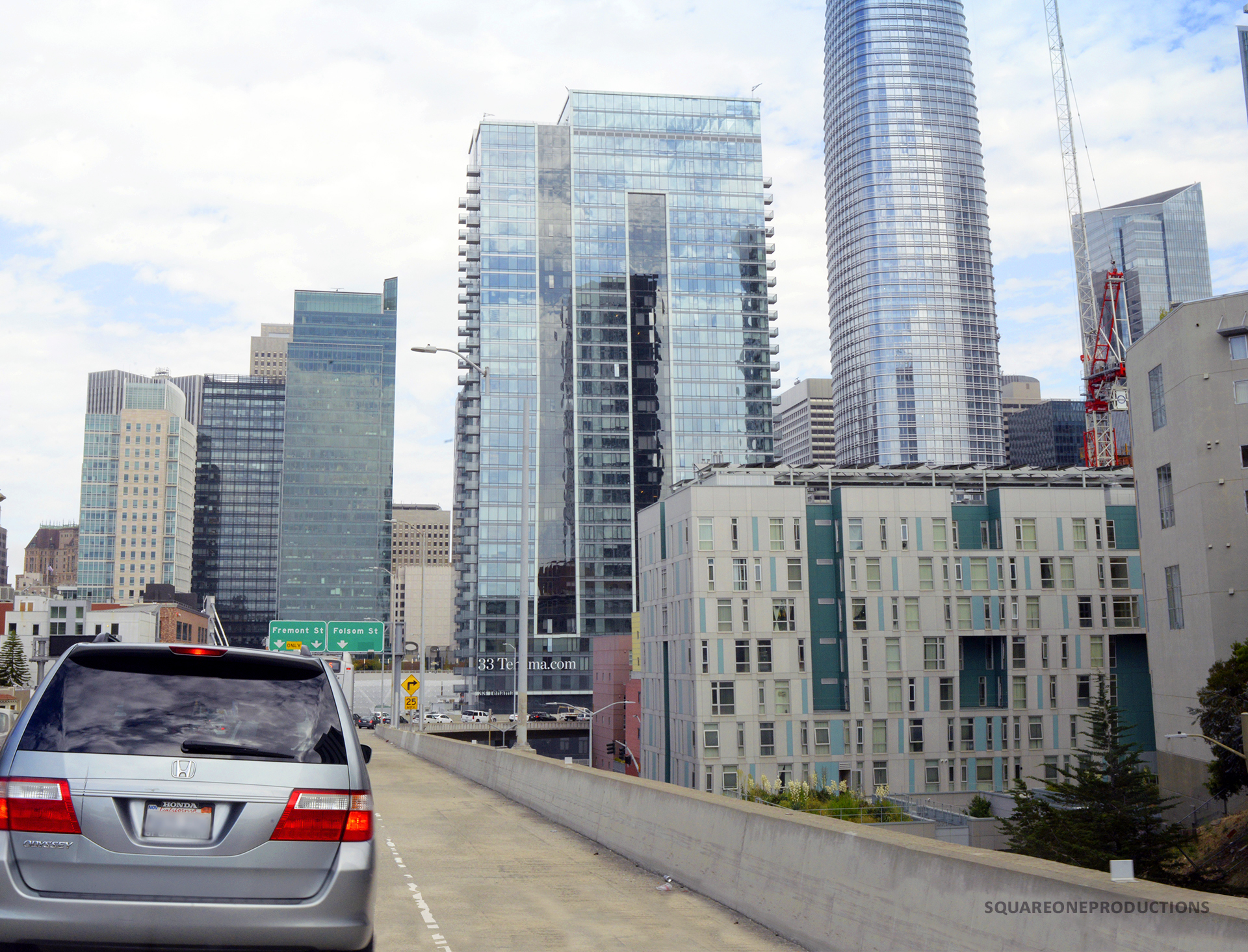
33 Tehama is now complete, and residents began moving in at the beginning of the year. The 403-unit, for-rent multifamily development features ground-level retail space and 60 below-market-rate units.
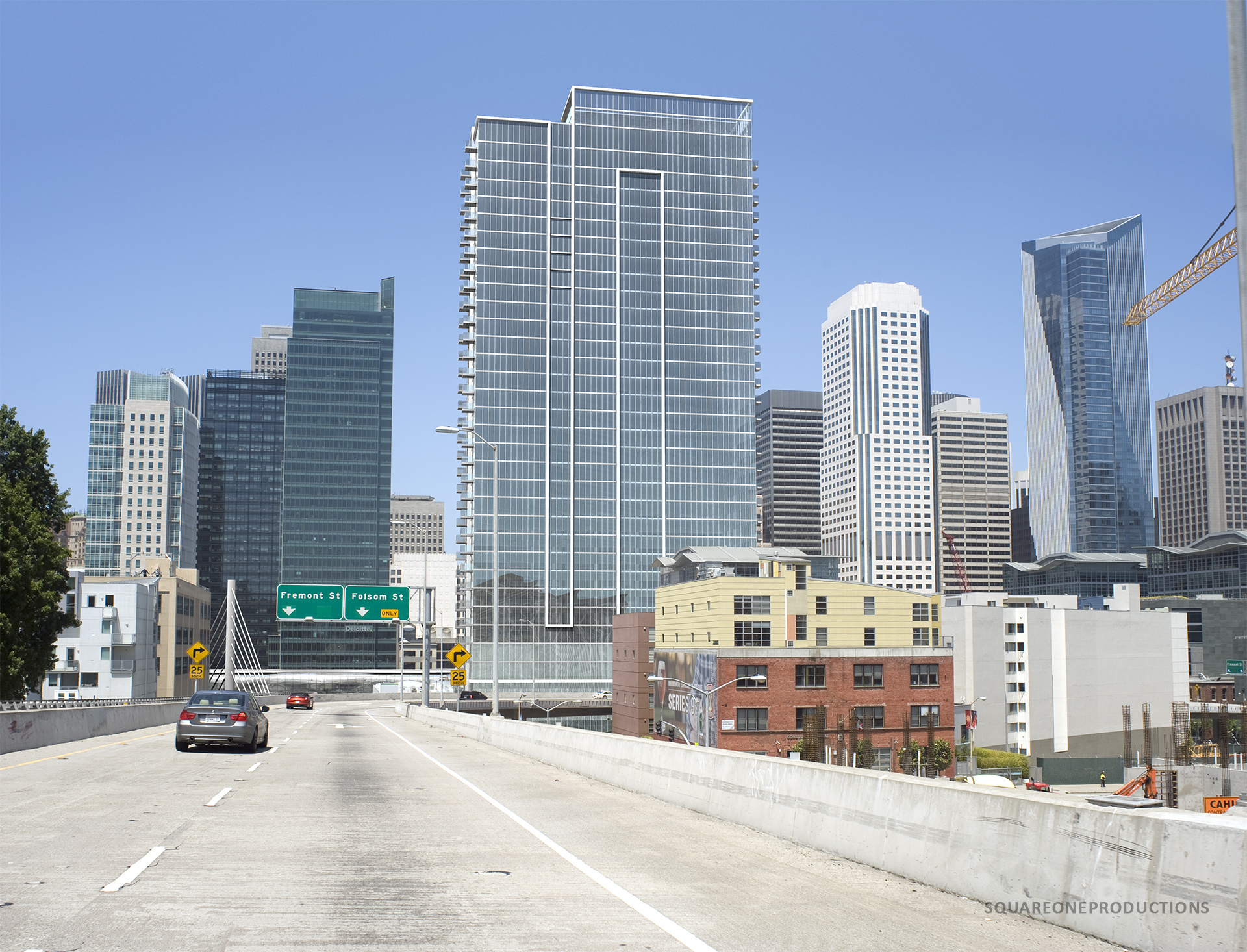
2013: 33 Tehama
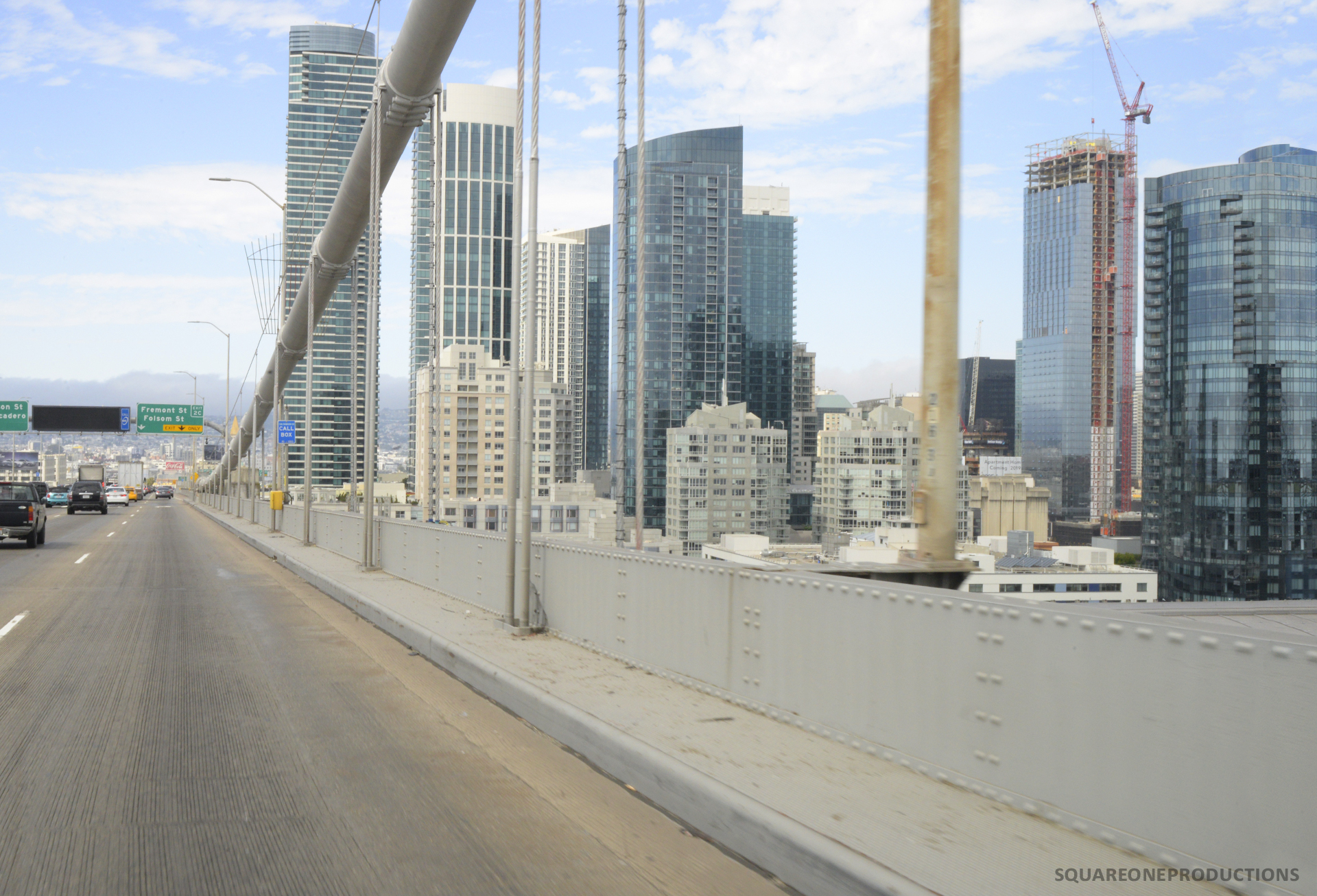
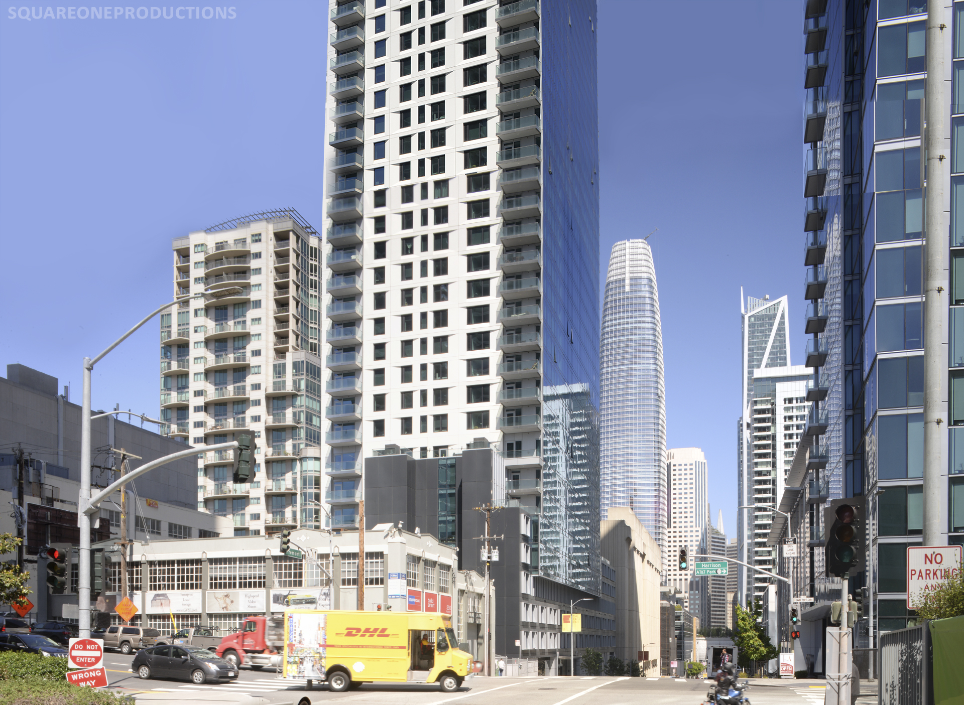
33 Tehama as built looks quite similar to the project as it was approved in 2012. In the intervening six years, Salesforce Tower has sprung up in the background.
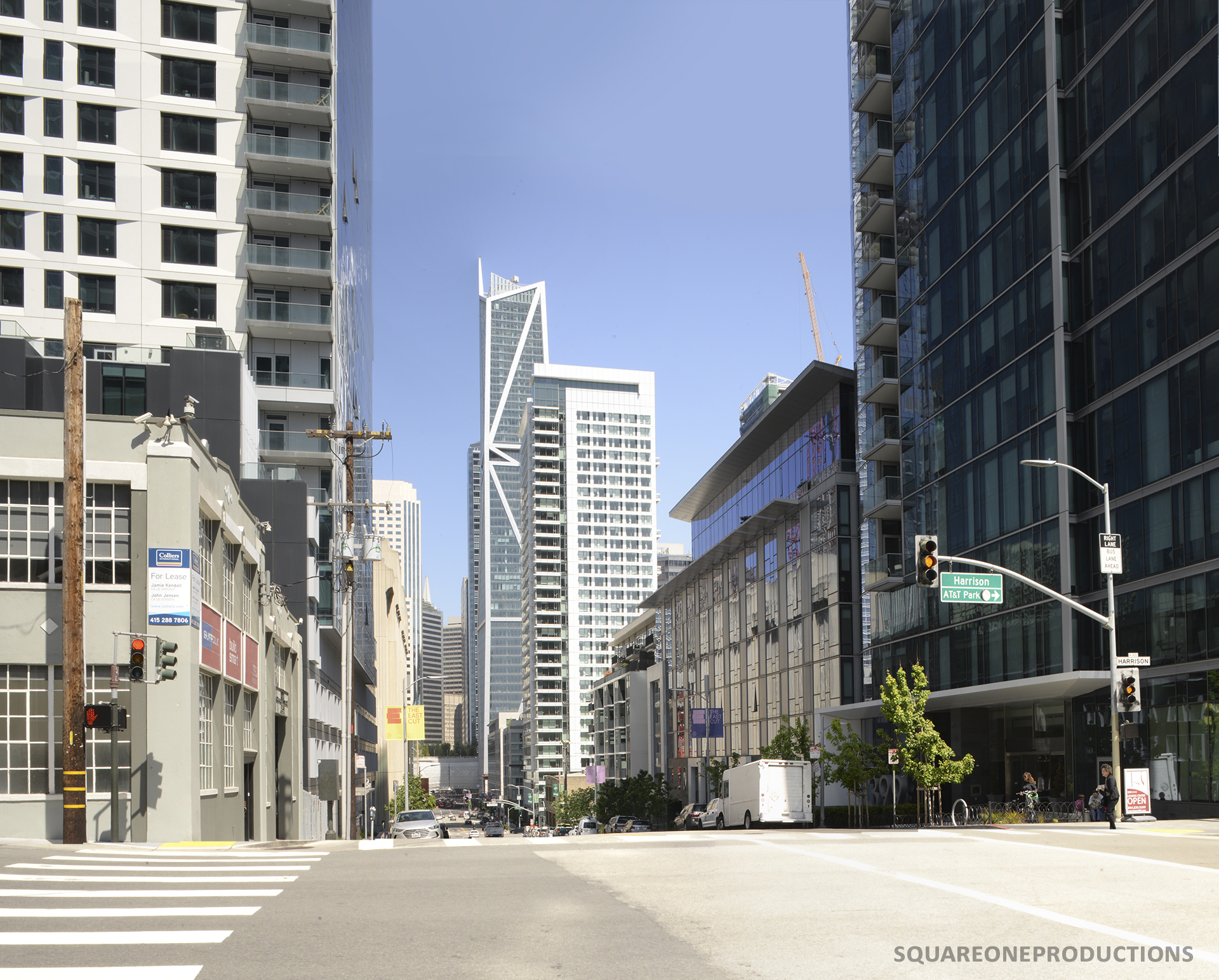
The project includes a public plaza featuring a striking installation by iconoclastic artist Yayoi Kusama. It is the only permanent public Kusama installation in San Francisco. Kusama exhibited alongside Oldenburg and Warhol in the 1960s yet remained in relative obscurity until the 1980’s. For insight into her long career, we highly recommend the feature film, ‘Kusama: Infinity’.
The plaza is designed to flow physically and visually into the adjacent 3.5-acre Oscar Park being developed by the Transbay Authority. Oscar park will border 33 Tehama’s site on two sides and is expected to open in 2022.

Photo of plaza